Who invented the Cardinal Directions
With the world around you constantly shifting, understanding the cardinal directions is crucial for navigation and comprehension of geography. But have you ever wondered who defined the north, south, east, and west that guide your way? This blog post will uncover the intriguing history behind the invention of cardinal directions, exploring ancient civilizations and their contributions to this fundamental aspect of navigation. As you journey through this enlightening narrative, you will gain a deeper appreciation for the origins of directional navigation in your daily life.

Key Takeaways:
- Historical Invention: The concept of cardinal directions (North, South, East, and West) was not invented by a single individual but rather developed over time across various ancient cultures.
- Cultural Contributions: Significant contributions came from ancient civilizations such as the Chinese, Greeks, and Arabs, each refining the understanding of geography and navigation in their own ways.
- Navigation Importance: The cardinal directions have played a crucial role in navigation, map-making, and the development of trade routes, shaping the way humans interact with their environment.
Ancient Civilizations
The concept of cardinal directions has roots that trace back to ancient civilizations, each contributing to the way we understand navigation today. These early societies relied heavily on the natural world for orientation. You might find it fascinating that their survival depended not only on agriculture but also on their ability to traverse the land with accuracy. As humans began to explore beyond their immediate surroundings, a need for a system to understand position and direction emerged. This marked the beginning of an impressive evolution in navigation methods.
Early Navigation Methods
For thousands of years, early navigators relied on various methods to find their way. They observed celestial bodies such as the sun, moon, and stars to determine direction, using the position of these heavenly bodies as a guide. You can imagine sailors on vast seas, using the North Star as a fixed point to maintain their course. Similarly, land-based navigators would often utilize prominent landmarks, tracking their journeys by referencing trees, mountains, and rivers, ensuring they never wandered too far from a known location.
For many ancient cultures, these methods were more than just practical; they were deeply intertwined with spirituality and mythology. You may envision sailors invoking the gods for favor during long journeys. The combination of practical navigation and spiritual belief created a rich tapestry of lore that underpinned early explorative practices. Consequently, these methods laid the groundwork for more systematic approaches to navigation.
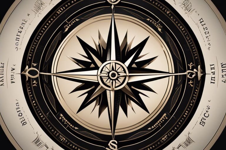
The Emergence of Cardinal Directions
Civilizations began to formalize their understanding of directions as trade networks expanded and societies became more interconnected. You may wonder how they settled on the cardinal directions – north, south, east, and west – that we are familiar with today. These were not merely arbitrary labels; they emerged from the interplay of astronomy, geography, and cultural consensus. The growing complexity of navigation, fueled by commerce and exploration, necessitated a standardized method for indicating direction, leading to the establishment of these cardinal points.
A closer examination reveals that the establishment of cardinal directions was pivotal for ancient cultures. You might find it intriguing that the orientation of cities, the layout of maps, and even the ritualistic practices of several societies began to revolve around these points. The Greeks, for instance, meticulously charted the heavens and classified their world through cardinal directions, while the Chinese developed their own compass to support their navigation. Each civilization brought its unique perspectives, yet the shared understanding of direction unified them in their quest for exploration and trade.
The Role of Astronomy
Little did our ancestors know that the stars above would play an instrumental role in how they navigated the Earth beneath their feet. Long before the invention of modern compasses, early humans relied heavily on celestial bodies to orient themselves. The sun, moon, and stars provided a reliable framework for direction and timekeeping, allowing navigators to commence on journeys across land and sea with confidence. As different civilizations began to explore the world around them, they looked to the sky, recognizing patterns that would ultimately guide their paths and become the foundation upon which cardinal directions were established.
Celestial Bodies and Navigation
To truly understand the significance of cardinal directions, one must first appreciate the roles played by celestial bodies in navigation. The sun, which rises in the east and sets in the west, offered a natural compass for those searching for their way. Sailors, in particular, would use the position of the sun during the day and the stars at night to guide their vessels, ensuring they remained on course even in the vast, open ocean. The North Star, or Polaris, became especially revered as it stands nearly stationary in the sky, pointing true north and serving as a steadfast reference point for navigators.
The Influence of Ancient Astronomers
The development of cardinal directions was significantly influenced by the meticulous work of ancient astronomers who devoted their lives to observing the heavens. These scholars, such as the Babylonians and Greeks, charted the movements of celestial bodies and began creating complex systems that divided the sky into specific zones. Their observations and calculations paved the way for establishing a systematic approach to navigating the earth, as they sought to understand the heavens and its relationship with their terrestrial world.
With each observation, the ancient astronomers laid the groundwork for what would ultimately evolve into the modern understanding of cardinal directions. Their efforts went beyond mere navigation; they created a framework for understanding the environment that shaped human activity. In doing so, they rooted the belief that the cosmos was not just something to be observed, but a crucial component of the human experience, guiding exploration and shaping cultures throughout history.
The Contributions of Ancient Greeks
Keep in mind that the ancient Greeks played a pivotal role in shaping our understanding of cardinal directions. They approached navigation and geography not just as practical activities but as intellectual pursuits that expanded human knowledge. As you explore their contributions, you’ll discover how Greek philosophers and mathematicians laid the groundwork for the concepts you take for granted today.
Pythagoras and the Concept of Directions
Directions in ancient Greek thought were intertwined with their philosophical beliefs about the universe. Pythagoras, famous for his mathematical theories, also believed in the significance of order and direction. He proposed that the Earth was round and that celestial bodies moved in harmonious patterns. His ideas encouraged an awareness of orientation and space, which later influenced navigational methods. You can see how his insistence on cosmic harmony extended to the way the Greeks viewed the world around them, reinforcing the necessity of aligning oneself with cardinal points.
Eratosthenes and the Measurement of the Earth
An important figure in the evolution of our understanding of cardinal directions was Eratosthenes, the ancient Greek mathematician and geographer. Around 240 BCE, he was among the first to calculate the circumference of the Earth with remarkable accuracy. By understanding the relationship between the Sun’s position and the angles of shadows cast at different locations, he defined an early global coordinate system that directly tied into how humans oriented themselves in space. This innovative perspective allowed you to better comprehend the Earth’s vastness and how to navigate it effectively.
Conceptually, Eratosthenes’ work contributed significantly to the framework of geography and navigation that you rely on today. His meticulous calculations underscored the importance of establishing a well-defined system of cardinal directions, enabling future explorers and navigators to understand their position in relation to North, South, East, and West. By proving not only the Earth’s shape but also its measurements, he laid the groundwork for a geographical understanding that directly informs how you orient yourself in the world today.
The Age of Exploration
Once again, the fascination with the known world propelled humanity into new realms of discovery. The Age of Exploration, spanning from the late 15th century to the early 17th century, dramatically transformed the manner in which you and your fellow navigators understood and traversed the vast oceans and uncharted territories. With explorers like Christopher Columbus, Vasco da Gama, and Ferdinand Magellan begining on ambitious voyages, the need for accurate navigation became paramount. As you investigated into the mysteries of the sea, you found that relying on the stars was no longer sufficient to guide you; the demand for precision was relentless.
European Explorers and the Need for Accurate Navigation
An increasing number of voyages were undertaken during this era, fueled by a European thirst for trade, territory, and knowledge. You, along with many of your contemporary explorers, sought routes to Asia for spices and silk, leading to unprecedented maritime expeditions. Strangely enough, as exploration expanded, so did the realization that the cardinal directions—North, South, East, and West—were not just simple geographical terms; they were crucial tools that defined your journey and shaped your worldview. The successes and failures of these voyages underscored the absolute necessity for reliable navigation systems that could accurately position you on your travels.
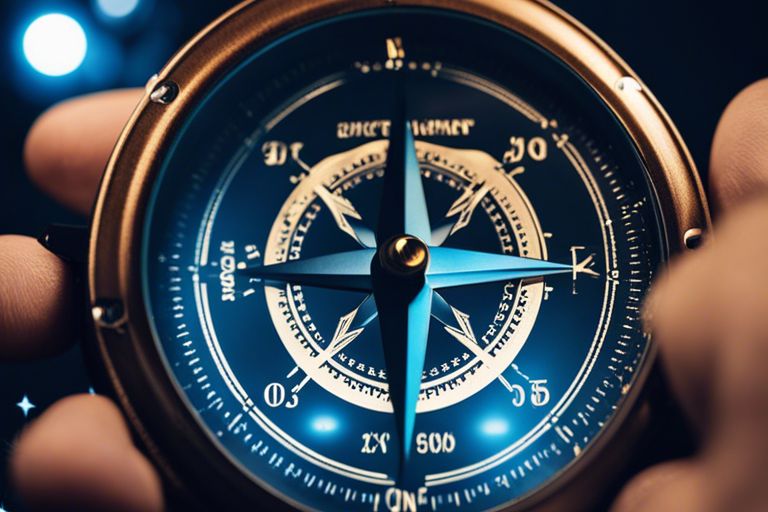
The Development of the Compass
One of the most significant advancements in navigation during the Age of Exploration was the development of the magnetic compass. As you explored the vast and sometimes treacherous waters, the compass emerged as your steadfast ally, allowing you to orient yourself regardless of the celestial bodies that may or may not be visible at any given time. It quickly became indispensable for seafarers like yourself, providing a consistent means to establish direction even during inclement weather or the obscurity of night.
Another breakthrough in your navigation toolkit was the refinement of the compass itself, with improvements such as the addition of a lubber line, which helped you ensure that the compass rose aligned with the ship’s heading. These refinements meant that not only could you determine your direction more accurately, but you also began to employ more complex navigational charts and methods. As you relied on the trusty compass, it signified a major turning point in human exploration, allowing you to venture further than your ancestors ever imagined, thus forever altering the course of history.
The Impact of the Cardinal Directions
For centuries, the cardinal directions have played a pivotal role in shaping human civilization, influencing everything from navigation to cultural developments across the globe. These foundational elements of spatial orientation have transcended the mere practicality of locating positions; they have become an integral part of our understanding of geography and the relationship we have with the world around us. Understanding the impact of cardinal directions allows you to appreciate how they guided explorers, facilitated trade, and shaped even religious beliefs throughout history.
On Cartography and Map-Making
Cartography, the art and science of map-making, has undergone profound transformations largely due to the introduction and standardization of cardinal directions. Early maps often lacked precision and clarity but with the establishment of North, South, East, and West, cartographers were able to create more accurate and navigable representations of the world. These directional indicators acted as the backbone of cartographic practice, allowing you to make sense of the geographical relationships between varying terrains and facilitating the creation of more sophisticated maps that could be relied upon by adventurers and traders alike.
As you explore deeper into the history of cartography, it becomes evident that the cardinal directions not only improved navigational accuracy but also aided in the emergence of maritime empires and exploration. Without these directional references, the age of discovery may have been vastly different. You can trace the routes of famous explorers like Magellan and Columbus, who utilized these cardinal markers to chart unknown waters and claim new territories. Their journeys became the catalyst for global exchange of goods and ideas, forever altering the course of history.
On Navigation and Transportation
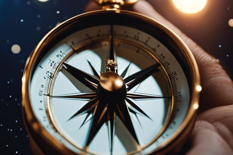
An understanding of cardinal directions revolutionized navigation and transportation, transforming how you traverse both land and sea. Before the widespread use of compasses, sailors relied on the position of celestial bodies in conjunction with the cardinal points to guide their ships. This method proved vital to the success of many voyages, forging connections between distant lands and fostering cultural exchanges that shaped the world as you know it today.
For instance, the invention of the magnetic compass in the early Middle Ages allowed mariners to determine their heading more reliably, specifically through the use of cardinal directions. This advancement not only optimized travel routes but also significantly reduced the dangers associated with exploration, enabling longer voyages across uncharted waters. As you think about this era of exploration, you can appreciate the bravery of those who ventured into the unknown, relying on these cardinal markers to seek new horizons and discover new worlds that would enrich human experience and knowledge for generations to come.
The Evolution of Cardinal Directions
Despite the vastness of the world and the complexity of its geography, cardinal directions simplify our understanding of navigation and orientation. Initially, these directions were born from natural phenomena, notably the movement of the sun and the stars. Ancient civilizations, such as the Egyptians and Mesopotamians, utilized celestial navigation, aligning their structures and cities based on cardinal points. This early reliance on the heavens provided a framework that not only guided travelers but also shaped cultural and architectural developments. The north-south-east-west orientation serves as a testament to humanity’s inherent need to chart the unknown, compelling you to ponder how these directions influenced societies and their interactions with the natural world.
From Ancient to Modern Times
Any examination of cardinal directions reveals a fascinating journey from ancient understanding to modern applications. As societies progressed, so did their methods of navigation. The Greeks, for instance, developed more precise techniques, anchoring their maps and reflections on geography to a standardized compass. This innovation allowed for more reliable travel and trade across land and sea. You can imagine how impact-laden this evolution was, leading to increased exploration and eventually the age of discovery, broadening horizons far beyond one’s immediate environment.
Moreover, by the Middle Ages, navigators and explorers began to incorporate detailed maps that utilized cardinal directions, ensuring you could navigate even the most treacherous routes. This constant refinement and integration within various cultures led to a shared understanding and a universal language for navigation, one that transcended borders and united disparate peoples in shared journeys. Ultimately, as time marched on, the cardinal directions intertwined with technological advancements, influencing how you perceive space and movement today.
The Role of Technology in Navigation
On the frontier of exploration, technology has played a pivotal role in shaping how you approach navigation. From the development of the magnetic compass to the advent of global positioning systems (GPS), each innovation has reshaped your relationship with cardinal directions. The compass, invented during China’s Song dynasty, revolutionized maritime navigation, allowing sailors to chart their course despite fog, storms, or the darkness of night. As you explore new places, the reliability of technology gives you the confidence to trust these ancient cardinal points with modern precision.
Evolution in navigational tools has not halted, instead, it continues to enhance how you engage with the world. The integration of GPS technology and digital mapping applications means that cardinal directions are now at your fingertips, making navigation effortless while still rooted in centuries of tradition and practice. This powerful combination of ancient wisdom and state-of-the-art technology provides you with an incredible toolset, allowing you to traverse both familiar paths and undiscovered territories with confidence.
Conclusion
Upon reflecting on the origins of cardinal directions, you may find it fascinating to recognize how these simple yet vital navigational tools have deep historical roots. The concept of cardinal directions—north, south, east, and west—has evolved over millennia, originating from the ancient civilizations who looked to the heavens for guidance. While it is impossible to pinpoint a single inventor, various cultures contributed to this vital system, including the Egyptians, Greeks, and Chinese, each adding their unique perspectives and methods. Understanding the shared legacy of this navigational framework can deepen your appreciation for the natural world and your place within it.
Your journey through the history of cardinal directions enlightens you on the significance of these four points in both practical and symbolic contexts. As you travel through life, whether by land, sea, or metaphorical journeys, the cardinal directions serve as constant reminders of the interconnectedness of humanity and the environment. Embracing this knowledge not only aids in navigation but also enriches your understanding of past human achievements that continue to guide modern exploration and discovery.
Q: Who is credited with the invention of cardinal directions?
A: The concept of cardinal directions—north, south, east, and west—cannot be attributed to a single inventor. Instead, it developed gradually over time through various civilizations. The earliest known use of cardinal directions can be traced back to ancient cultures, such as the Egyptians and Mesopotamians, who used the sun’s position for navigation. The ancient Greeks further refined these concepts, particularly through the work of philosophers like Aristotle and Ptolemy, who contributed to the understanding of geography and navigation.
Q: How did early civilizations utilize cardinal directions?
A: Early civilizations utilized cardinal directions for navigation, agriculture, and urban planning. For instance, ancient mariners used celestial navigation, which relied on the positions of stars and the sun to determine directions at sea. In agriculture, farmers often aligned their fields with cardinal directions to optimize sunlight exposure. Furthermore, cities and temples were frequently constructed with a north-south or east-west orientation, reflecting the importance of these directions in spiritual and cultural practices.
Q: Has the understanding of cardinal directions evolved over time?
A: Yes, the understanding and representation of cardinal directions have evolved significantly over time. Initially, early maps and navigation methods were rudimentary and based on natural landmarks. With the advent of the magnetic compass in the Middle Ages, navigation became more precise, as sailors could determine cardinal directions regardless of visible landmarks. In modern times, the use of technology, such as GPS, has transformed navigation, allowing for real-time positioning and navigation without reliance on traditional cardinal directions, although the fundamental concepts remain integral to map-making and navigation systems.